- Difficulté Difficile
- Distance 16.2km
- Maximum altitude not disclosed
- Altitude minimum not disclosed
- Walk 05h30
- Positive elevation gain 620m
- Negative elevation gain not disclosed
- Commune de départ Salavas
Useful links
Description
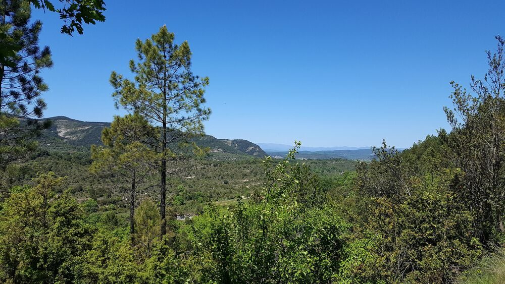
In a setting with oak trees mainly predominating, the hiking trail leads up to the highest point of the Serre mountain, at an altitude of 549 metres, providing some truly exceptional views.
-
Address
- Panneau info-rando derrière l'arrêt des bus
- 07150
- Salavas
- website
- Phone 04 75 54 54 20
-
Opening
All year round.

