- Difficulté Difficile
- Distance 5.2km
- Maximum altitude 195m
- Altitude minimum not disclosed
- Walk 02h00
- Positive elevation gain 180m
- Negative elevation gain 180m
- Commune de départ Viviers
Description
This hike is not long but the path that goes up to the statue of Saint Michael is steep and rocky.
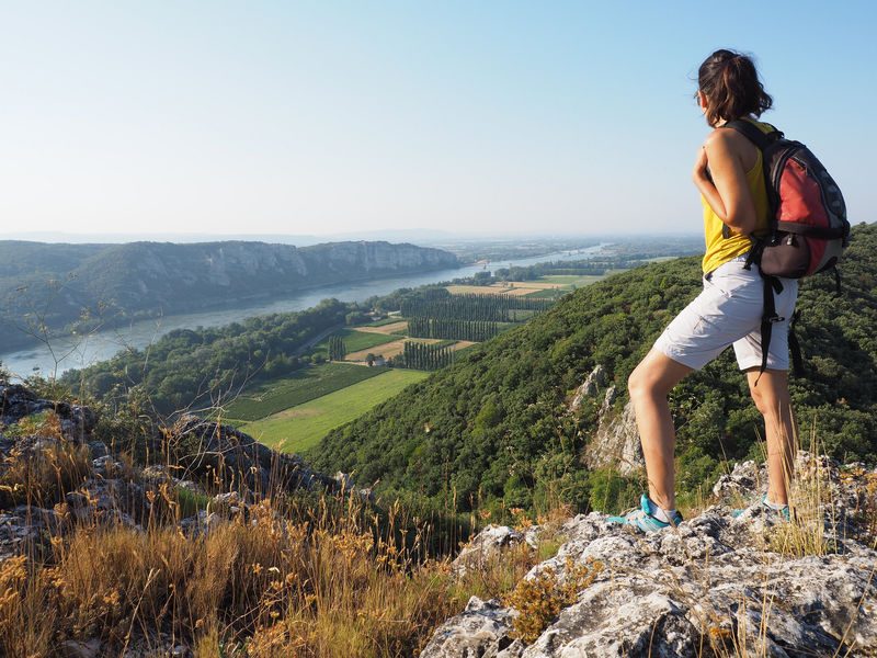
It offers very beautiful views of Viviers and its wooded hills, the Rhône valley, the cliffs of Donzère, and the Vercors in the distance.
-
Address
- Départ de la Mairie de Viviers
- 07220
- Viviers
- website
- Phone 04 75 54 54 20
-
Opening
All year round.
Localisation
Departure from the town hall 2 Av. Pierre Mendès France (RD 86i), 07220 Viviers (large car park below).
Leaving the car park, turn right on the road that descends towards the Rhône. Go along the wall and go to the fork, take the small road to the right. Always follow the white and yellow markings (PR) for this hike.
The old port was at the level of the cliff on the right. One can notice in this one, the holes of the rings which were used to moor the boats. This is where Richelieu landed in 1642.
Continue on the road. Do not take the path up to the cemetery. After going along a stone wall on your left, yellow and white markings make you turn right. Take the path that leaves the road and after passing under trees, go up to the right, pass at the foot of the cliff and take the path that goes up in the woods.
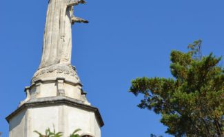
/!\ be careful with children: dangerous passage near a cliff. Arrival at the statue of Saint Michael slaying the dragon (1). This one is 9 m 50 high, was erected by the city of Viviers after the Second World War to thank Saint-Michel for having protected it from the bombardments. /!\ Retrace your steps to the small stone shelter then turn left
/!\ be careful: steep descent for a few meters between large rocks.
The trail descends into the undergrowth and then climbs up to follow the ridge; and, then descends to the right again in the undergrowth. Towards the end of the descent, a path on the left allows a short round trip to admire a natural arch (probably dug into the rock by the waters of the Rhône).
/!\ Be careful not to venture too close: risk of falling.
Arrived at the houses, turn left on the road. You will leave it quickly to take the first path on your left. This leads to a path. Take the undergrowth path that descends
to the left (follow the yellow and white markings). Then take the wide path on the left which runs along the foot of the hill going up towards the north.
At the end of the road take the path on the right. Arrived at the road, turn left, After 50 m, take the ViaRhôna on your right then left at the post "Île des Perriers" (2) and go up along the river to the foot of the bridge. To return as quickly as possible, before the bridge, turn left to follow the departmental road to the starting point. If you pass under the bridge, at the "Ile Saint-Nicolas" post (3), you can continue towards the port and then visit Viviers before returning to your starting point by the signposted "Discovery" route.
wise advice from vincent : combine this hike with La Joanade and go for a stroll through the narrow streets of the medieval center of Viviers. And, for the curious, try to find the ruins of the Saint-Victoret Chapel (11th century). This place of pilgrimage was destroyed during the wars of religion. The sarcophagi of several children were discovered there. To go see it, +/- halfway up the ascent to the statue, at the location of a small clearing on your right, find the path that starts under the trees then turn right towards the top of the cliff. It's not far.
Can be combined with the Joanade (1B) and/or the cliffsof Donzère (1E) circuits.


