- Difficulté Intermédiaire
- Distance 12.3km
- Maximum altitude not disclosed
- Altitude minimum not disclosed
- Walk 04h10
- Positive elevation gain 244m
- Negative elevation gain not disclosed
- Commune de départ Labastide-de-Virac
Useful links
Description
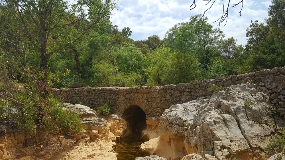
The trail makes its way through the garrigues (heath) and oak forests where mankind has left a trace in all periods with stone buildings and walls.
-
Address
- Panneau info-rando à coté du cimetière
- 07150
- Labastide-de-Virac
- website
- Phone 04 75 54 54 20
-
Opening
All year round.

